A Neighborhood in Decline?
It might seem strange that at the exact moment Georgia Avenue was moving toward its period of greatest commercial success, the Southside had come to be regarded as a neighborhood in decline. There were several reasons for this shift. Even then, Atlantans preferred new houses over old, and those who could afford to move to the suburbs dismissed the Southside’s residential structures as outdated and decayed. In addition, Atlanta was in the process of committing to the automobile; the Southside’s narrow streets and drivewayless residential lots added to the neighborhood’s traffic congestion, which lessened its appeal.
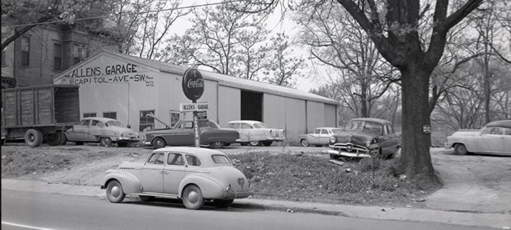
Allen’s Garage at 395 Capitol Avenue SW, c. 1957
Automobiles also transformed Atlanta’s ideas about neighborhood commerce, since car owners no longer needed to be able to walk to the grocery store. City planners, already ill-disposed toward commerce in residential areas, advocated for concentrating shops and services in areas zoned specifically and exclusively for that purpose. That’s why Georgia Avenue got zoned as a commercial district in the first place; but both Summerhill and the Southside were dotted with dozens of stores – which, by the 1930s, made these neighborhoods seem out-of-date at best, and blighted at worst.
But the primary reason for the neighborhood’s changing status was race. Atlanta’s white city leaders believed that mixed-race neighborhoods hurt real estate values and imperiled public safety. They closely tracked every residential section’s demographic composition, facilitating racial and ethnic homogeneity wherever possible.
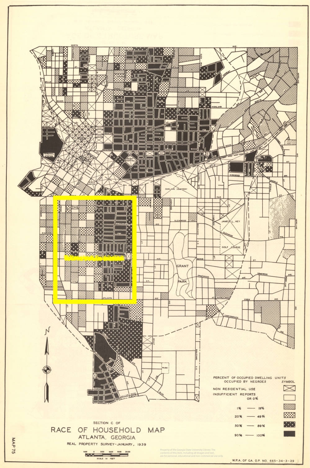
By those standards, the Southside and Summerhill would have been regarded as a problem. Not only were they right next to one another, but as this map indicates, a mix of native-born whites, immigrants, and a small but growing number of African Americans resided west of Capitol Avenue.
Map indicating race of households by block, 1939. Summerhill (to the east) and Southside (to the west) are outlined here in yellow, as is Georgia Avenue.